| GOLD WILLOW (2) - DEAF SMITH CANYON c.2008 |
|
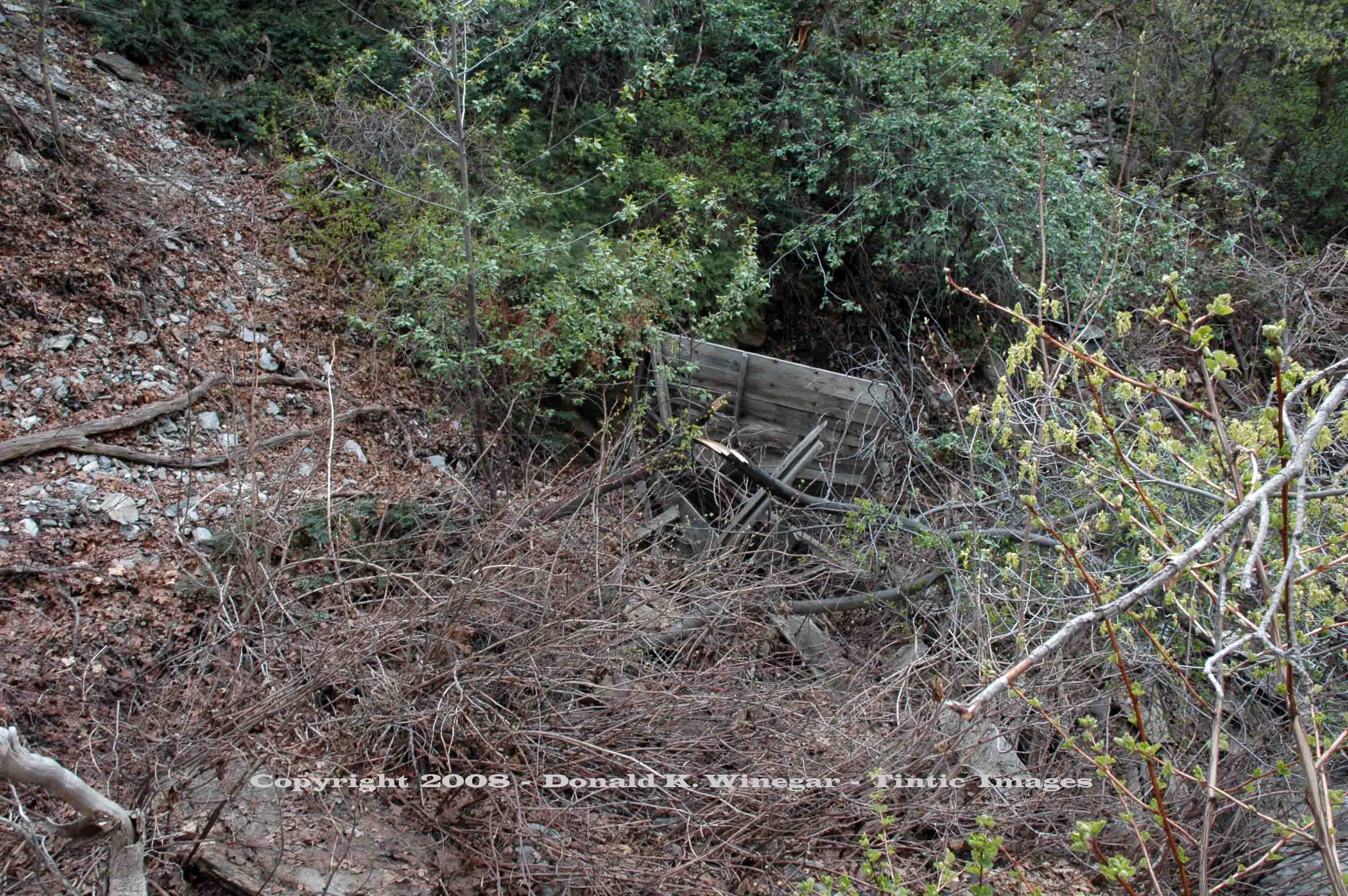
View
(looking West) of scant building remains at the base of the old ore dump at Gold Willow (#2) adit. c.2008
Location data
QUICK LOCATION PATH: Utah / Salt
Lake County / Big Cottonwood District / Deaf Smith Canyon / South Fork
|
Approximate GPS Location:
|
40.35.419 N - 111.47.084 W (field) |
|
|
Approximate Elevation:
|
5596' (field)
|
|
|
30 x 60 Minute Map:
|
SALT LAKE CITY, UTAH
|
|
|
7.5 Minute Map:
|
DRAPER, UTAH
|
|
Brief history
The Gold Willow group of mines consisted of a number of
shallow shafts and adits, as mentioned previously. This adit on the south side of the canyon is probably the one that drives
in and terminates at a short inclined shaft. If correct, Then it was from this adit that nearly $8,000 in gold ore, hand-picked
from from a small pay-streak, was delivered and shipped for processing.
Getting there
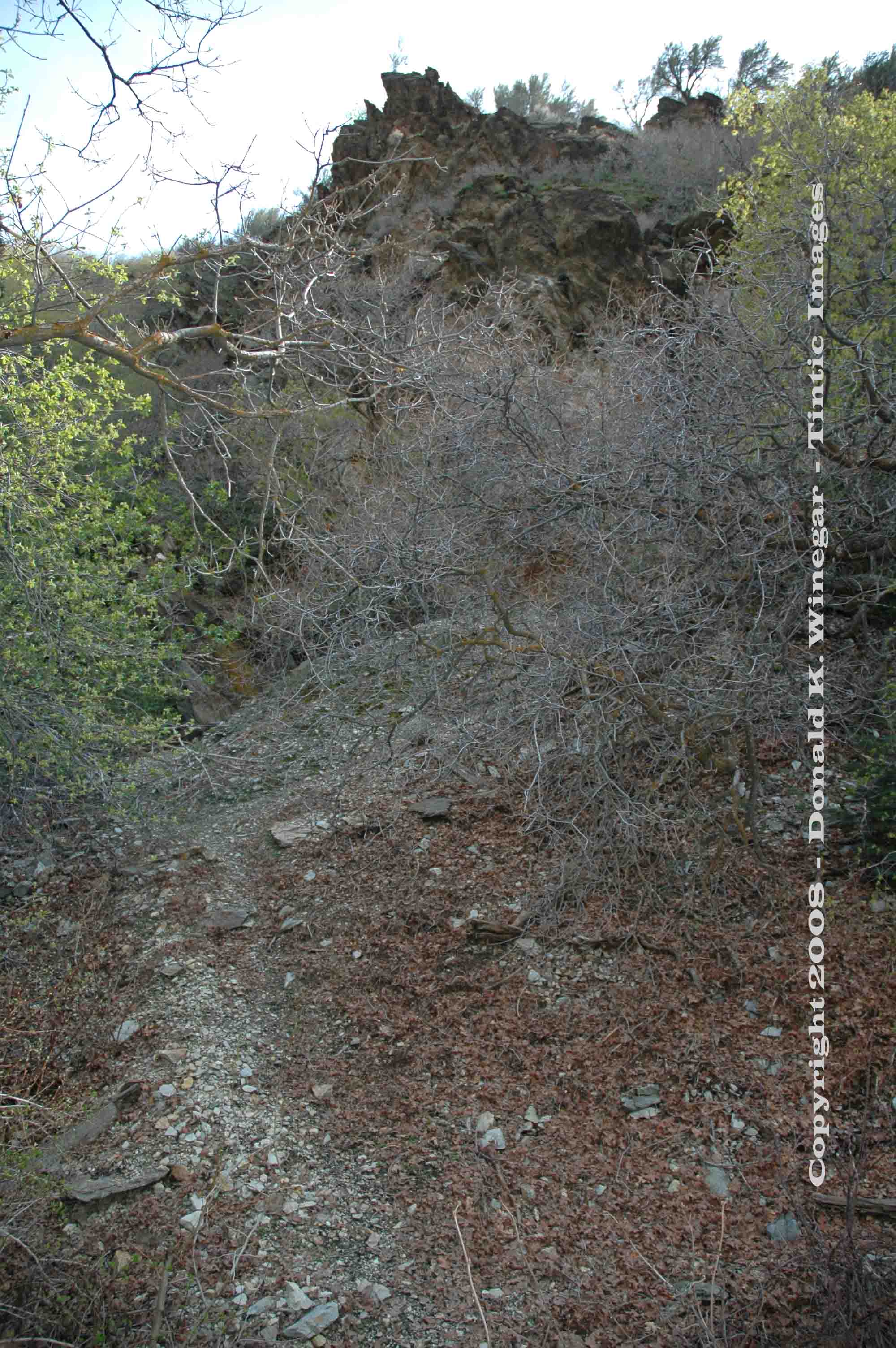
Less than 1/10th of a mile above the #3 site is this the #2. The caved portal and dump are on the opposite side
(SW) of the stream flowing in Little Willow creek. For this reason it is difficult to get to, even though it is just a few
feet away. No matter what you do, the only way to get to this site is to get your feet wet.
Note: Crossing this stream can be hazardous, especially in the springtime
and early summer.
| |
| GOLD WILLOW (2) c.2008 |
|
|
|
What remains
Remnants of a single wall can be seen in the
brush at the base of the dump, other than that and the dump, nothing remains.
References:
Geology, Ore Deposits and History of the Big Cottonwood Mining District,
Salt Lake County, Utah (1979) UGMS Bulliten 114, Lawrence P. James.
Return to the top of this page.
_____________________
 - DEAF SMITH CANYON c.2008)