| GOLD WILLOW (3) - DEAF SMITH CANYON c.2008 |
|
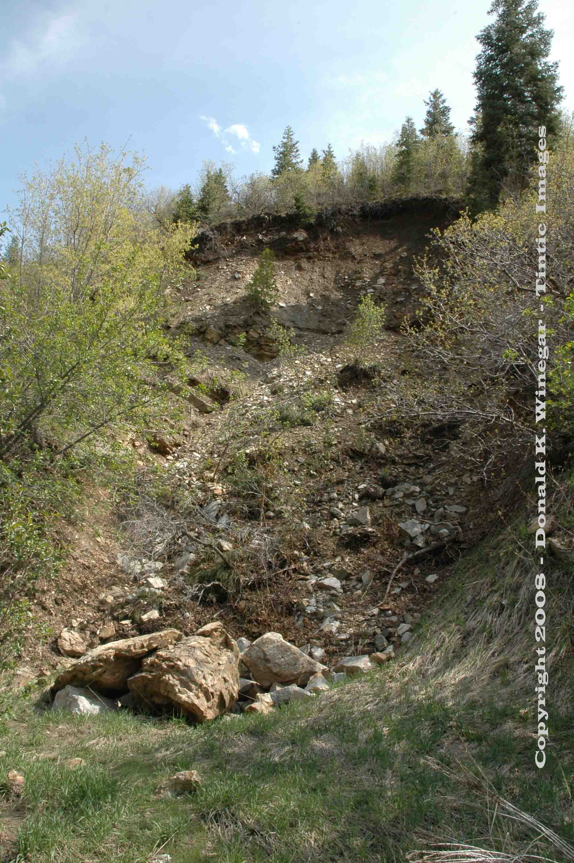
View
(looking SE) of the dump and collapsed portal of the lower Gold Willow (#3) adit. c.2008
Location data
QUICK LOCATION PATH: Utah / Salt
Lake County / Big Cottonwood District / Deaf Smith Canyon / South Fork
|
Approximate GPS Location:
|
40.35.476 N - 111.47.154 W (field) |
|
|
Approximate Elevation:
|
5490' (field)
|
|
|
30 x 60 Minute Map:
|
SALT LAKE CITY, UTAH
|
|
|
7.5 Minute Map:
|
DRAPER, UTAH
|
|
Brief history
The Gold Willow group of mines consisted of a number of
shallow shafts and adits all about the area. Two on the north side of the canyon the upper 75 feet in length and the lower
more than 1500 feet in length, and two or more on the south side of the canyon one of which is shown here. At one time the
long adit on the north side was shipping $65 per ton ore. Good quality, but short lived, as less than 10 tons was shipped.
Exact production amounts are not known for the Gold Willow group as a whole, but somewhere in the $10,000 range is probably
a fair estimate.
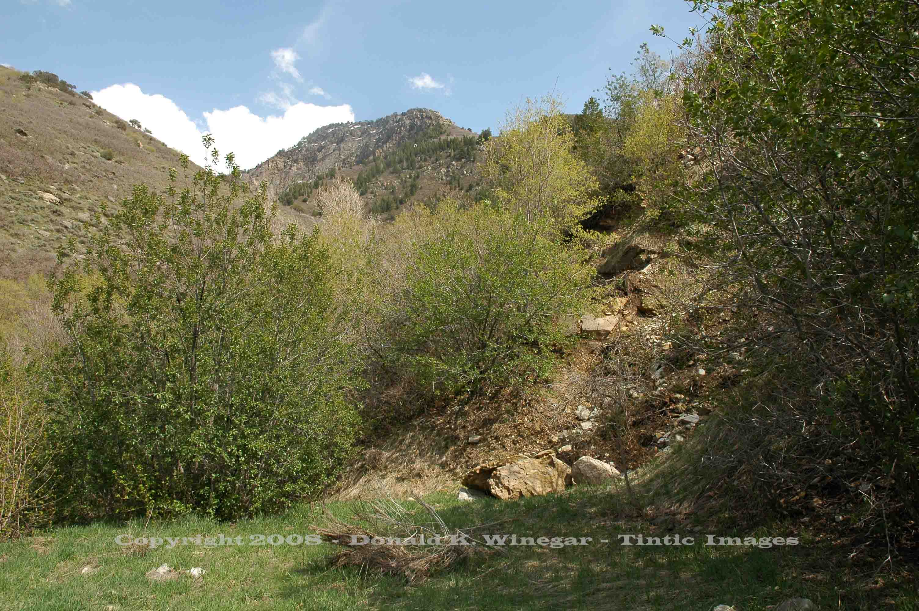
Getting there
From the end of the paved private road leading into Deaf Smith Canyon it is a very short distance to this first
site. Proceed up the old overgrown canyon road less than 1/10th of a mile and you will see where the both the canyon and the
road divide into a north fork and a south fork. Turn right and take the south fork.
After
crossing the stream, a short distance up the old road, the dump for this site will appear on your right. It may take a moment,
but a faint trail can be made out in the brush from the old road to the top of the dump and the old portal.
Note:
The site is heavily overgrown and stinging nettle is all about!
What remains
Along the top and sides of the dump are a number of old boards, the last bits of lumber from the old structures
that were once present. The portal is caved and the hillside above has sluffed off as well, leaving a number of large boulders
front and center at the former entrance to this mine. Two lengths of old mine rail protrude from beneath the boulders and
caved portal.
References:
Geology, Ore Deposits and History of the Big Cottonwood Mining District,
Salt Lake County, Utah (1979) UGMS Bulliten 114, Lawrence P. James.
Return to the top of this page.
______________________
 - DEAF SMITH CANYON c.2008)